

Apuan Alps Regional Park is a protected mountain area that includes Camaiore, with access points for routes toward Campo all’Orzo. From this guesthouse in Camaiore, it’s about a 19-minute drive to the park; route options range from a 2-hour-30-minute nature trail to longer circuits.
- Camaiore-area access points: Passo del Lucese, Gombitelli and Metato.
- Route toward Campo all’Orzo: CAI trail 101 from Passo del Lucese or CAI trail 104 from Metato.
- Trail-map access: Browser or app, on PC, smartphone or tablet.
- Route examples: Walks take from 2 hours 30 minutes to 6 hours, with difficulty grades E and EE.
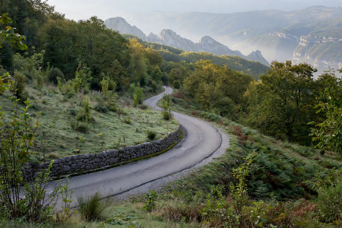
Understanding the park and its access points
The Regional Natural Park of the Apuan Alps is administered by the Parco Regionale delle Alpi Apuane, and the authority includes Camaiore among the park’s municipalities. That makes the Camaiore area a useful starting point for understanding access, but the park’s routes extend well beyond the town.
For routes toward Campo all’Orzo, the park authority identifies Passo del Lucese, Gombitelli and Metato as access points. One described approach follows the drivable road from Gombitelli to Passo del Lucese, then continues toward Campo all’Orzo. The route can also reach Campo all’Orzo from Passo del Lucese along CAI trail 101, or from Metato along CAI trail 104.
The park’s online trail map brings routes and selected itineraries together with park-certified facilities, visitor centers and museums. It is available through a browser or an app, so you can consult it on a PC, smartphone or tablet while planning.
The ruins of Montecastrese Castle are another landmark connected with a Camaiore outing.
How do you choose an Apuan Alps trail from the Camaiore area?
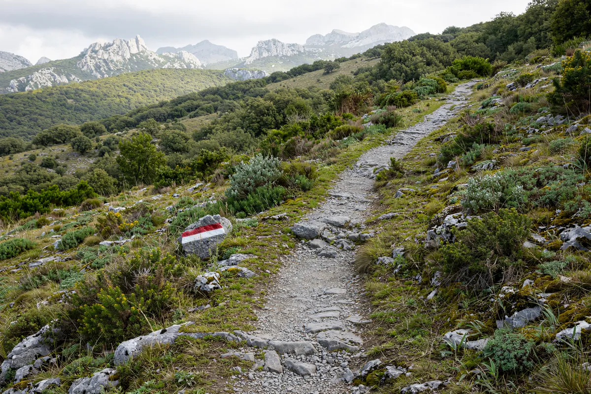
Choose a route by matching its duration and difficulty grade to the kind of day you plan to take on. A park strategy document describes about 100 CAI-marked trails, as well as long-distance routes such as the Garfagnana Trekking, Apuane Trekking, Lunigiana Trekking and Alta Via delle Apuane.
Campocatino–Eremo di San Viano Nature Trail
This route takes 2 hours 30 minutes and has difficulty grade E. It is the shortest of these three examples, making it a useful comparison if you want a shorter outing than the circuits below.
Monte Forato circuit
The Monte Forato circuit takes 5 hours and has difficulty grade E. Allow for a longer day than the nature trail, while noting that the grade is the same.
Pania circuit
The Pania circuit takes 6 hours and has difficulty grade EE. Its duration and grade set it apart from the two E-rated routes above; use those details when weighing your plans.
These route descriptions are examples from across the park, not confirmation that each starts in Camaiore. For a Camaiore-area approach, use the park map to check the access points and the route you intend to follow.
What should you check before setting out?
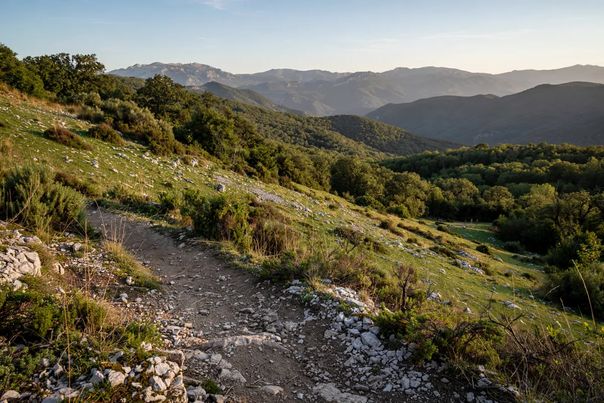
Check the park’s trail map and the Parco Regionale delle Alpi Apuane’s official site before you go. The map shows routes and selected itineraries, while the park authority is the source for its park information.
For an outing toward Campo all’Orzo, first identify whether you’ll approach via Passo del Lucese or Metato, then use the map to follow the corresponding CAI trail: 101 from Passo del Lucese or 104 from Metato. If you plan to drive from Gombitelli to Passo del Lucese, factor that road approach into your route planning.
The park’s strategy document describes about 100 CAI-marked paths alongside several named long-distance routes. A route’s grade and duration help with comparisons, but they don’t replace checking the specific route information before leaving.
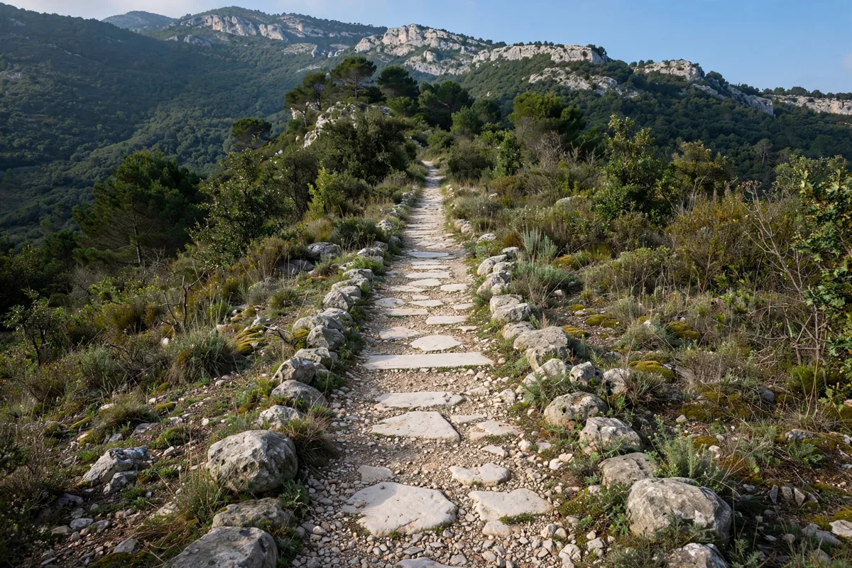
Park rules and planning a safe day outdoors
Plan around the route information and the park’s rules, and check the official park guidance before your trip. A park regulation proposal describes restrictions on fires, dogs off leash, camping and certain activities around water and wildlife; as a proposal, it should not be treated here as confirmation of the current rules.
For a day outdoors, settle on your access point and route before you go, then consult the park map for the itinerary you intend to follow.
If you’re considering a longer route, compare its duration and difficulty with the shorter options rather than relying on the route name alone. The Pieve dei Santi Giovanni e Felicita is another place near Camaiore.
FAQs
Which Camaiore-area access points lead toward Campo all’Orzo?
The park authority identifies Passo del Lucese, Gombitelli and Metato as access points for routes toward Campo all’Orzo.
Which CAI trails are described for reaching Campo all’Orzo?
CAI trail 101 leads from Passo del Lucese, and CAI trail 104 leads from Metato.
Can you use the park trail map on a phone?
Yes. The park presents its map for use through a browser or an app on a smartphone, tablet or PC.